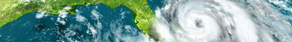
For the last few days, we’ve been thinking about hurricanes as Idalia was about to make landfall in Florida. A typical class activity is to track hurricane positions on a blank map. Younger students experiencing a hurricane warning or watch for the first time may get the impression that the storm is a new sort of threat or that hurricanes are more common than they used to be. Of course, the media is often responsible for these impressions since every hurricane is hyped as the first or worst or at least unusual in some respect, when in fact, it’s probably not significantly different than previous hurricanes. The only real difference between a modern storm and one from decades ago is that the population is greater now and there’s much more to the built environment that can be damaged. Taking some classroom time to examine past hurricane tracks may reduce some of the anxiety students experience. Fortunately, there’s a great source for maps of historic hurricane tracks.
Our Maps ETC website offers three types of historic hurricane maps:
Named Hurricanes and Tropical Storms
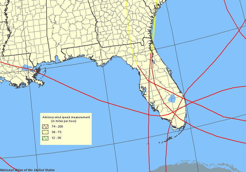
Gallery of 69 maps that show tropical storm and hurricane activity near Florida. The maps show the routes of named storms, including when and where they were declared hurricanes.
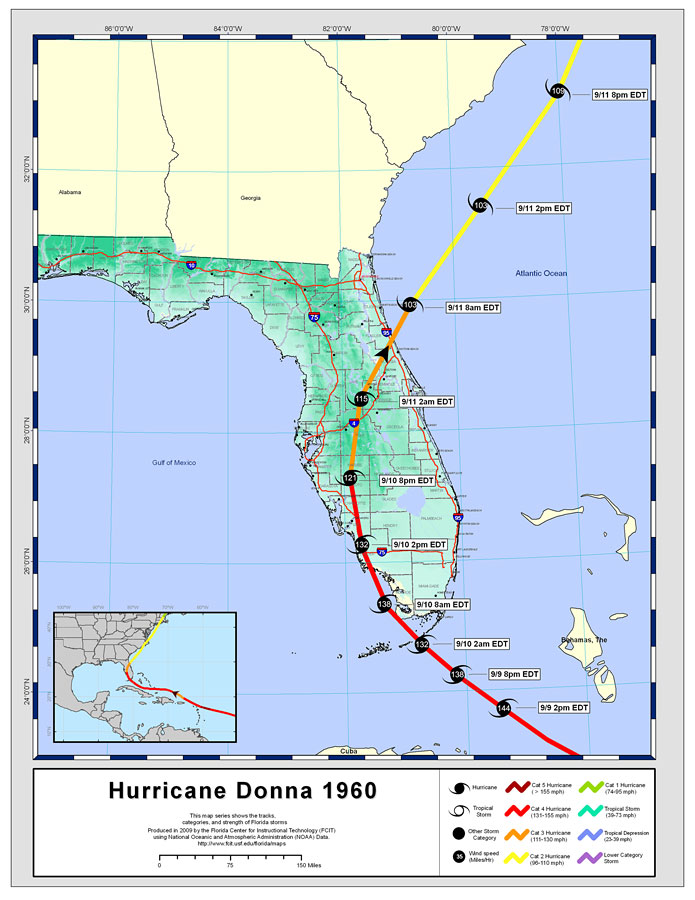
Gallery of 14 maps that show category 3 hurricane activity near Florida by decade from the 1850s to the 1990s. Students can see that there have been swings between decades with many hurricanes and those with few hurricanes.
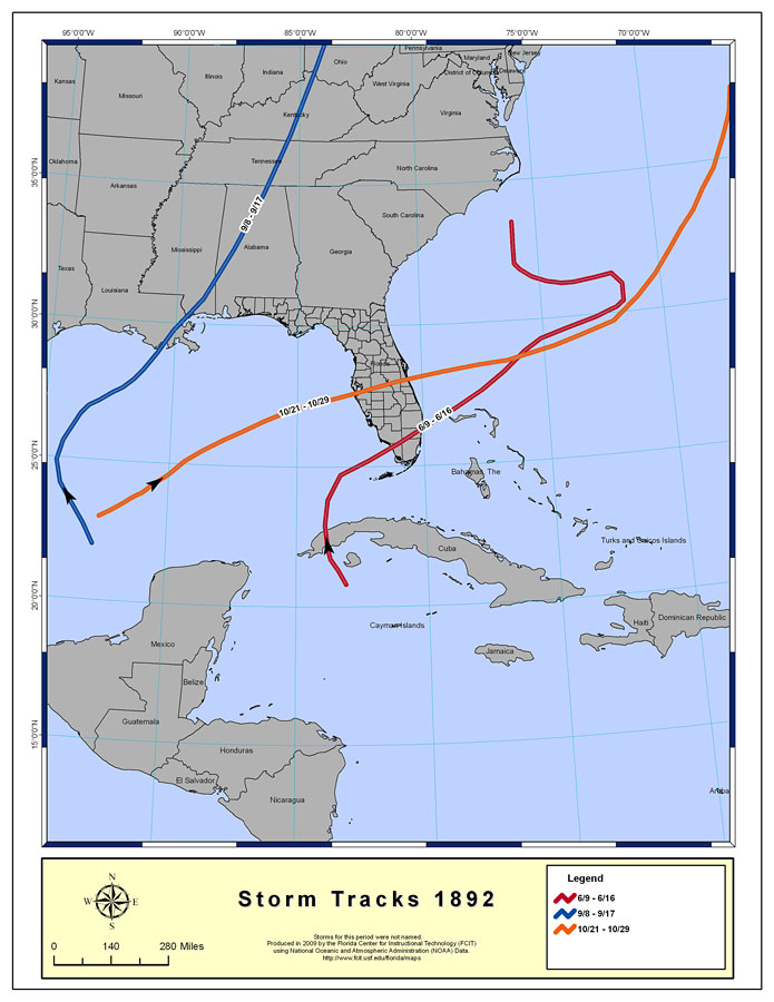
Gallery of 96 maps that show tropical storm and hurricane activity near Florida by year from 1892 to 2007.
For any current hurricane such as Idalia (below left), you are likely to be able to find maps of previous hurricanes that followed similar tracks on the Maps ETC website:
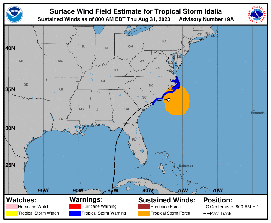
Idalia, 2023
Track of Idalia as of 8:00 EDT Thursday August 31, 2023. Source: National Hurricane Center.
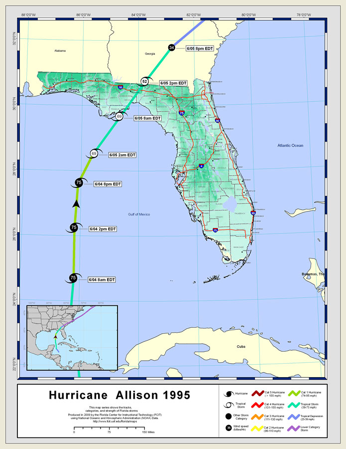
Allison, 1995
Track of Hurricane Allison June 4-5, 1995. Source: Maps ETC collection of Hurricanes and Tropical Storms by Name.
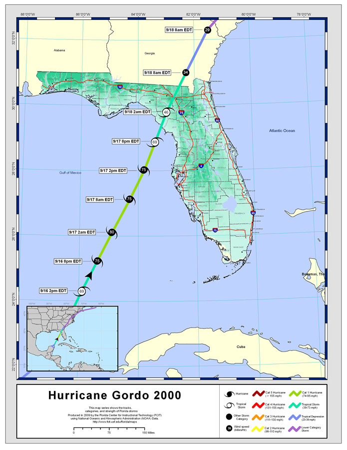
Gordo, 2000
Track of Hurricane Gordo September 16-18, 2000. Source: Maps ETC collection of Hurricanes and Tropical Storms by Name.
Once you know the name and year of a similar hurricane or tropical storm, it’s easy to locate news stories from the time of the earlier storm and make comparisons to the present situation. Even without a storm bearing down on a particular location, teachers can find maps of historic storms that hit their area and create activities around those.
Roy Winkelman is a 40+ year veteran teacher of students from every level kindergarten through graduate school. As the former Director of FCIT, he began the Center's focus on providing students with rich content collections from which to build their understanding. When not glued to his keyboard, Dr. Winkelman can usually be found puttering around his tomato garden in Pittsburgh. Questions about this post or suggestions for a future topic? Email me at winkelma@usf.edu. To ensure that your email is not blocked, please do not change the subject line. Thank you!
FCIT Newsletter
Each month FCIT publishes a newsletter with short articles on teaching and learning with technology, using digital content in the classroom, and technology integration. Subscribe today! The subscription form will open in a new window. When you have subscribed, you can close the new window to return to this page.