|
|
|
| FL Maps > Region > 1760-1779 |
|
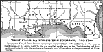
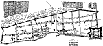
West Florida Under the English,
1763 to 1780 |
|
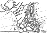
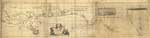
Carte reduite des costes de la Louisiane et de la Floride: Florida,
1764 |
|
Carte reduite des costes de la Louisiane et de la Floride: Florida,
1764 |
|
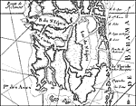
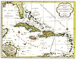
Algemeene Kaart van de Westindische Eilanden,
1769 |
|
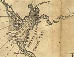
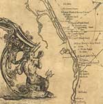
St. Augustine ,
1769 |
|
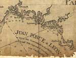
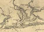
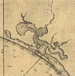
Detail - East Florida, from surveys made since the last peace, adapted to Dr. Stork's History of that country,
1769 |
|
Detail - East Florida, from surveys made since the last peace, adapted to Dr. Stork's History of that country,
1769 |
|
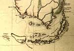
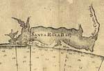
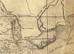
Detail - Florida and its vicinity,
1774 |
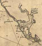
|
Detail - Florida and its vicinity,
1774 |
|
Detail - Florida and its vicinity,
1774 |
|
Detail - Florida and its vicinity,
1774 |
|
Detail - Florida and its vicinity,
1774 |
|
Detail - Florida and its vicinity,
1774 |
|
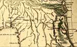
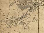
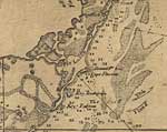
East and West Florida,
1774 |
|
Detail - East and West Florida,
1774 |
|
Detail - East and West Florida,
1774 |
|
Detail - East and West Florida,
1774 |
|
Detail - East and West Florida,
1774 |
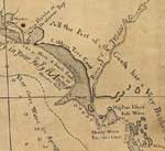
|
Detail - East and West Florida,
1774 |
|
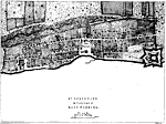
St. Augustine the Capital of East Florida,
1775 |
| FL Maps > Region > 1760-1779 |
Maps ETC
is a part of the
Educational Technology Clearinghouse
Produced by the
Florida Center for Instructional Technology
© 2007
College of Education
,
University of South Florida