|
|
|
| FL Maps > Local > Monroe |
Click on a thumbnail image to view a full size version of that map.
|
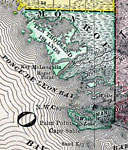
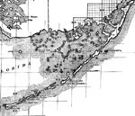
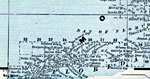
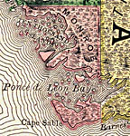
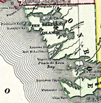
Monroe County Mainland,
1888 |
|
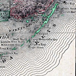
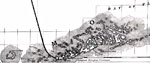
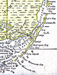
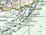
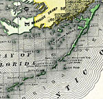
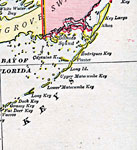
Monroe County- Upper Keys,
1888 |
|
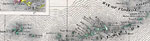
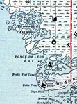
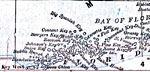
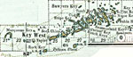
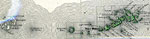
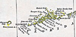
Monroe County- Lower Keys,
1888 |
|
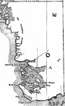
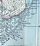
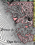
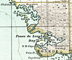
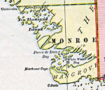
Monroe County - Mainland,
1888 |
|
Monroe County - Upper Keys,
1888 |
|
Monroe County - Lower Keys,
1888 |
|
Monroe County - Mainland,
1889 |
|
Monroe County - Upper Keys,
1889 |
|
Monroe County - Lower Keys,
1889 |

|
Monroe County Mainland,
1890 |
|
Monroe County- Upper Keys,
1890 |
|
Monroe County- Lower Keys,
1890 |
|
Monroe County Mainland,
1890 |

|
Monroe County- Lower Keys,
1890 |
|
Monroe County Mainland,
1894 |

|
Monroe County- Lower Keys,
1894 |
|
Monroe County Mainland,
1897 |
|
Monroe County- Upper Keys,
1897 |
|
Monroe County- Lower Keys,
1897 |
|
Monroe County Mainland,
1898 |
|
Monroe County- Upper Keys,
1898 |
|
Monroe County- Lower Keys,
1898 |
|
Monroe County Mainland,
1899 |
|
Monroe County- Upper Keys,
1899 |
|
Monroe County- Lower Keys,
1899 |
| First | Previous | Next | Last |
| FL Maps > Local > Monroe |
Maps ETC
is a part of the
Educational Technology Clearinghouse
Produced by the
Florida Center for Instructional Technology
© 2007
College of Education
,
University of South Florida