|
|
|
| FL Maps > Region > 1950-1999 |
|
Wetlands and Deepwater Habitats of South Florida,
1996 |
|
Hydrologic Features in South Florida,
1996 |
|
Anthropogenic Hydrological Features in South Florida,
1996 |
|
Land Use in Southeastern Florida,
1996 to 1998 |
|
Occurrence of Fenuron from Public-Supply Wells in the Biscayne Aquifer,
1996 to 1998 |
|
Occurrence of Diuron from Public-Supply Wells in the Biscayne Aquifer,
1996 to 1998 |
|
Occurrence of Metolachlor from Public-Supply Wells in the Biscayne Aquifer,
1996 to 1998 |
|
Occurrence of Simazine from Public-Supply Wells in the Biscayne Aquifer,
1996 to 1998 |
|
Occurrence of MTBE from Public-Supply Wells in the Biscayne Aquifer,
1996 to 1998 |
|
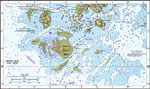
Horseshoe Point to Rock Islands,
1997 |
|
Cedar Keys,
1997 |
|
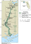
Inflow and Outflow Points for Lake Okeechobee,
1997 |

|
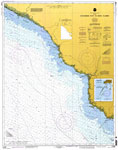
Crystal River to Horseshoe Point,
1998 |
|
Crystal River to Horseshoe Point,
1998 |
|
Physiographic Areas of the Suwannee River Water Management District,
1998 |
|
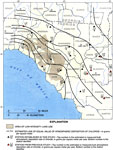
Confinement of the Upper Floridan Aquifer in the Suwannee River Water Management District,
1998 |
|
Area Contributing Groundwater from the Floridan Aquifer to the Suwannee River,
1998 |
|
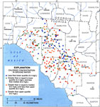
Chlorine Concentrations in Groundwater of the Suwannee River Water Management District,
1998 |
|
Land Use and Atmospheric Deposition of Chloride in the Suwannee River Water Management District,
1998 |
|
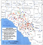
Recharge Estimated from the Chloride Tracer Method in the Suwannee River Water Management District,
1998 |
|
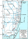
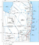
Hydraulic Control Structures in Broward and Palm Beach Counties,
1998 |
|
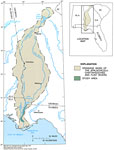
Drainage Basin of the Apalachicola River,
1998 |
|
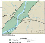
Floodplain of the Apalachicola River,
1998 |
|
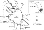
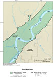
Flat Creek Intensive Study Area,
1998 |
|
Johnson Creek Intensive Study Area,
1998 |
| First | Previous | Next | Last |
| FL Maps > Region > 1950-1999 |
Maps ETC
is a part of the
Educational Technology Clearinghouse
Produced by the
Florida Center for Instructional Technology
© 2007
College of Education
,
University of South Florida